

Here are just a few of the maps of Hays Woods. Click on the image or title below to see the full size map.
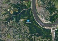
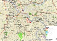 Location of Hays Woods in Pittsburgh Area, July 2017
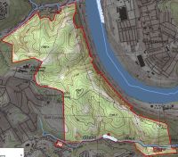 Hays Woods Topographic Map, 2013
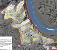 Existing Trails and Old Roads, July 2017
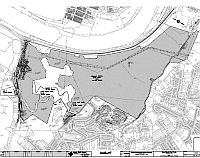 Utility Rights Of Way, January 2017
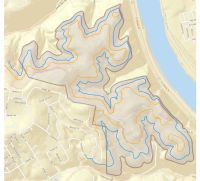 Under-mined areas, October 2016
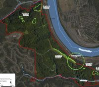
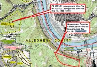 DEP Map of Hays Woods Problem Areas, 2003
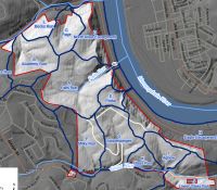 Watersheds in Hays Woods, July 2017
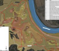 Soils on site, July 2017
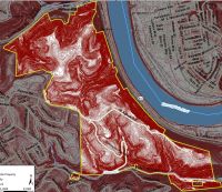 Slopes, 2 ft. contours, July 2017
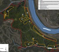 Particular Habitats of Conservation Interest, July 2017
-
 Location of Species of Special Concern, July 2017
 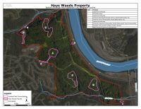 Invasive Plant Concentrations, July 2017
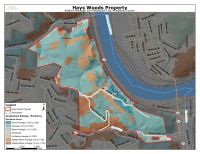 Site Resilience Climate Change, July 2017
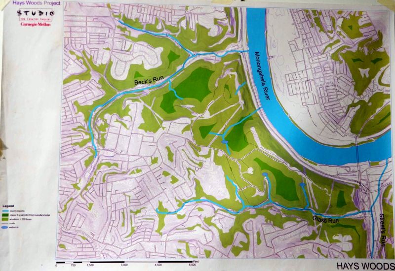
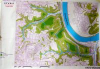 Woodland, streams, interior forest, 2005, Studio for Creative Inquiry, Carnegie Mellon University
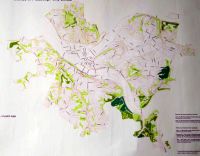 Woodland and Interior Patches, Pittsburgh City Limits, 2004
 Woodland, streams, interior forest, 2005, Studio for Creative Inquiry, Carnegie Mellon University
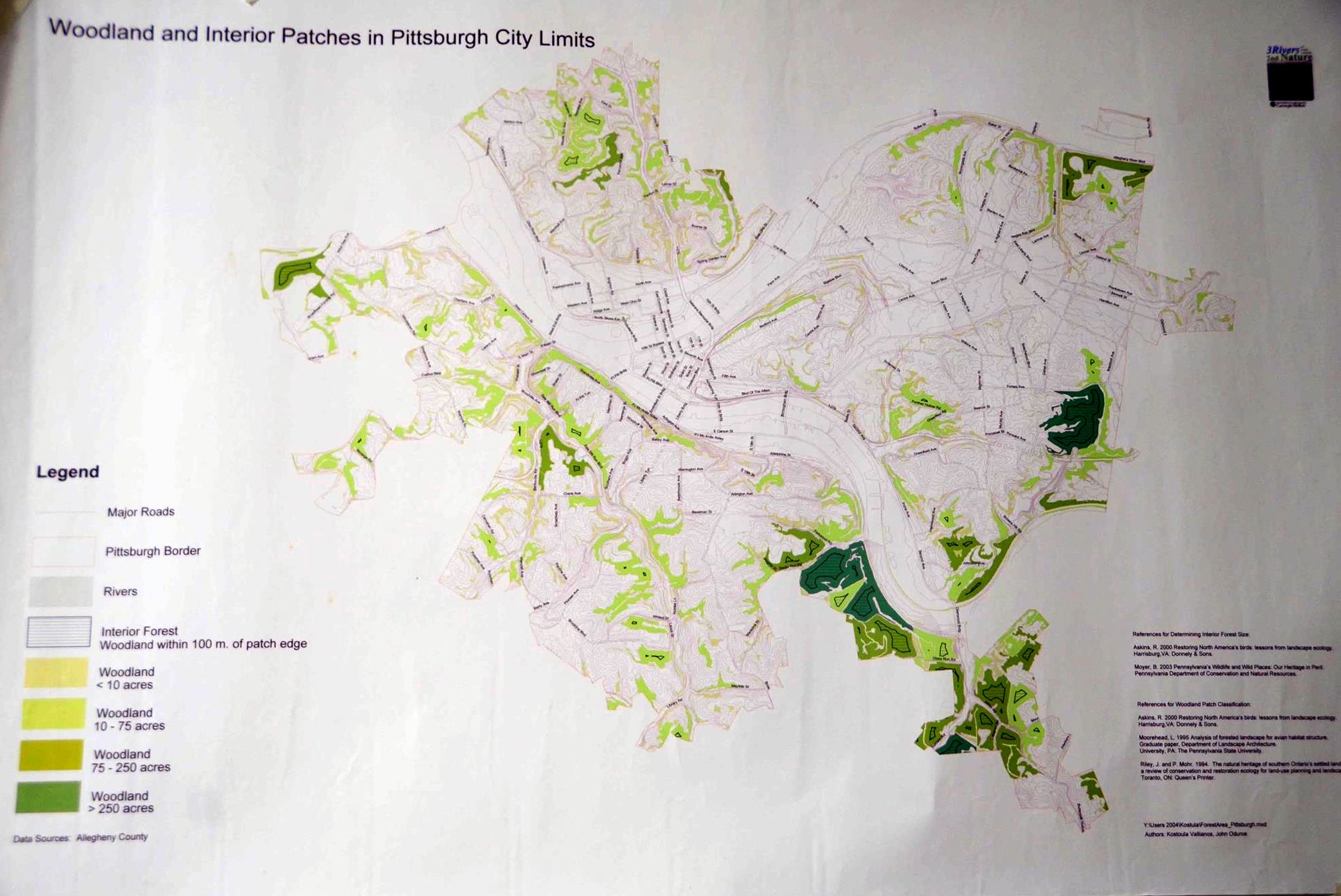 Woodland and Interior Patches, Pittsburgh City Limits, 2004
Historical Maps, 1938 – 2017
 Aerial Image, 1938
 Aerial Image, 1957/1956
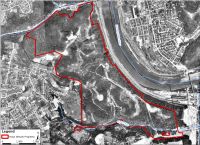 Aerial Image, 1967
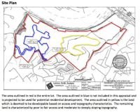 URA Site Plan, November 2017. Blue area reserved for development. Yellow area is now in the future park.
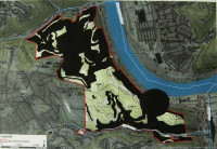 Walkable Public Areas with/without URA residential site (Friends of Hays Woods, 2017)
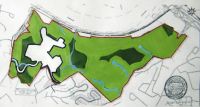 Residential Zone affect on interior forest patches (Friends of Hays Woods, 2017)
 URA Site Plan, November 2017
(maps courtesy Allegheny Land Trust and Friends of Hays Woods. July 2017 site assessment maps by Western Pennsylvania Conservancy)
